Envision
January 20, 2023
The role of Geographic Information System (GIS) in Sea Ports
%20in%20Sea%20Ports.webp)
Table of content
1. Introduction
2. Why, use GIS in sea-ports?
3. Conclusion
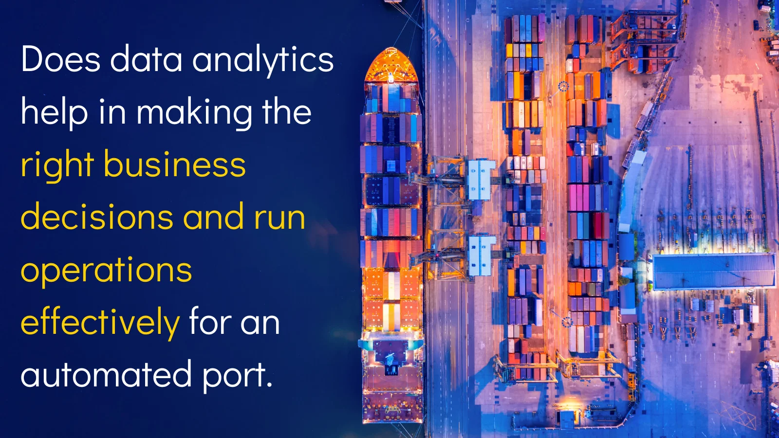
Geographic Information System (GIS), designed for gathering, storing, processing, looking through organizing, drill-down visualizing location specific information on geographic maps. With GIS technology serving as system of truth, spatial data layered on map can be analyzed, and decision-support processes can be greatly assisted. GIS solutions includes the use of software, hardware, and approved georeferenced data to help users view and understand the relationships between diverse geographic characteristics, analyze terrains, land-use, and population density for respective domains such as Seaports, River ports, Utilities, Railways, multimodal logistics.
GIS enables decision-makers to understand patterns, relationships, and trends in the data with utmost clarity from multiple dimensions, which can help in taking a wide range of important decisions and actions. Like:
- Planning and management of urban, rural areas, ports, like land-use, zoning, and resource management
- Port operations tracking spatially and port-land use
- Emergency response and disaster management, such as incidents tracking on interactive map, trend analysis of incidents for effective planning measures
- Environmental monitoring and conservation, including monitoring changes in land cover and locating regions at danger of habitat loss or deforestation
- Spatial tools for effective Marketing and market research data capture for analysis, in identifying the most promising locations for new businesses setup or retail stores
- Transmission and Distribution: GIS serves as an effective tool in utilities where complete hierarchical utilities distribution model can be tracked until last level like pole and consumers info on map in both HT & LT networks, with density of respective entities location-wise displayed. This can result further for smart metering and billing purpose.
In conclusion, GIS is a vital tool that helps people and businesses comprehend geographic data better so they may make better decisions.
Why, use GIS in sea-ports?
The utilization of GIS can be very beneficial for seaport operations and the neighborhood around it. Among these advantages are:
- Enhanced performance: Ship routing, cargo handling, and other seaport activities can all be optimized with GIS. Costs, delays, and general efficiency can all be enhanced as a result of this process.
- Better Decision Making: GIS can be utilized to analyze data on ship traffic, cargo movements, and other seaport-related operations, which results in improved decision-making. This can offer useful insights about patterns and trends that can help guide crucial decisions regarding the operation of seaports, the development of infrastructure, and other crucial issues.
- Increased security and safety: GIS can be employed to track and monitor ship movements, spot hazardous regions, and create plans to mitigate risks. This may contribute to increased safety and security in the vicinity of the seaport.
- Better environmental management: The seaport environment, GIS can be used majorly to track and monitor changes in land usage, water quality, and air quality. This data can be utilized to pinpoint problem regions and create plans for eliminating any adverse environmental effects.
- Enhanced collaboration and communication: Data could be shared across many stakeholders in the harbor area, including shipping corporations, port authorities, and local governments, using GIS. These stakeholders' collaboration and communication, be facilitated by this process, which might result in more efficient decision- and problem-making.
- Increased visualization is made possible by GIS, which gives users a map-based visual representation of the data. This makes it simple for users to spot patterns, trends, and linkages that could be challenging to find using more conventional techniques.
- Geospatial dashboards in various dimensions plot-status/customers/time helps in strategic and operations planning of port properties rental/lease management, Geo-fencing, Geo-tracking and location-based info/analysis/analytics
- Tracking vital data: - GIS in seaports helps in tracking location of the container in port, transshipment data on the map and update transit times route planning for vehicles inside the port and tracking same on map
- Make Logistics planning simple: Delivering more sophisticated information to your clients; showing shipment information on a map of the world; and offering excellent customer service
- Intermodal transportation activities in ports, for example, for containers requiring various modes of transportation (vessels/ships, trucks, and rail), can be shown on a map along with the supporting infrastructure, rails, and road network information, including congestion information, etc. It is possible to plan for efficiency-increasing measures and predictive-intelligent measures by doing a spatiotemporal analysis of the same.
- Water depth tracking and depiction in Web GIS is highly helpful for port management to guarantee that necessary dredging operations are carried out on a regular basis or as needed to maintain depth levels for safe vessel movement and docking at ports. Predictive decision-making is aided by regular depth assessments and assessments for the individual vessels, as well as decisions on dredging that are based on spatiotemporal analysis (previous data) and data on water flows.
GIS has almost become a necessity for every company in modern times as a effective decision support system and is part of digital transformation exercise in view of the immense benefits it offers to users and decision makers in every firm.
Talk to us today to know how our solutions can accelerate your digital transformation
Let's Talk

.webp)


.webp)
.webp)
.webp)


%20ver1_1.webp)


.webp)
.png)
.png)